
Humid start to week, then dry air arrives Wednesday
New Orleans voters face clouds and low rain odds on Election Day, followed by a weak cold front that clears moisture from the region.
By Leila Reynolds ·
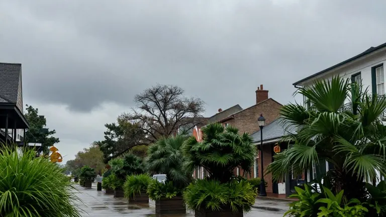
New Orleans residents will start the week in thick, cloudy air before a weak weather system pushes that moisture out by Wednesday afternoon. The pattern sets the stage for Election Day voting conditions, keeping precipitation risks low for early voters.
Monday will hold temperatures in the upper 70s with persistent cloud cover. Meteorologists expect passing showers to drift in from the southeast, but the probability of rain remains low throughout the day. Tuesday follows a similar trajectory, featuring mostly cloudy skies and a slight chance for isolated showers or brief storms.
A cold front will approach from the northwest on Tuesday. The system is expected to trigger a few showers along its leading edge during Tuesday night and Wednesday morning. While the front may generate strong storms in western Louisiana, forecasters indicate the activity will weaken as it nears the New Orleans area. This shift has reduced the likelihood of severe weather for the metro region.
The front will clear the area by Wednesday afternoon. A few isolated storms could develop during the peak daytime heating period as the system exits. Once the front passes, humidity levels will drop sharply, returning small rain chances only by Friday.
Another weather front is scheduled to arrive over the weekend. This second system will reinforce the lower humidity and could lower daytime highs to the lower 70s by Sunday. The change marks a distinct break from the humid conditions at the start of the week.